Celebrating the Tenth Anniversary of the Boston College Libraries GIS Contest
This year Boston College Libraries celebrated 10 years of the Geographic Information Systems (GIS) Contest. Over 10 years ago, the libraries partnered with Research Services, ITS to promote the use of GIS at Boston College. GIS had reached a watershed moment where the confluence of the commercialization of GIS software, GPS data availability and a recognition of the value of spatial analysis for decision-making had opened up the use of GIS across disciplines. In 2002 the library began integrating GIS training into the Social Work curriculum, eventually expanding into Nursing and other areas. Researchers recognized that a GIS skill set was a valued part of resumes in every field.

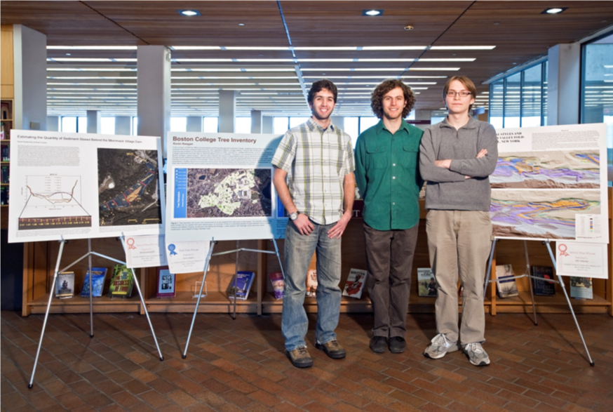
In 2010 to further recognize the importance of GIS on campus and further expand exposure, the libraries initiated an annual GIS contest. The first year, the libraries recognized 3 undergraduate entries from Geology and Geophysics with a $100 Amazon gift certificate for first prize and GIS T-shirts for a tied second place.
By 2013, because of the increased number of entries, both graduate and undergraduate awards were established with $100, $50 and $25 certificates for each category for the top placed entries.

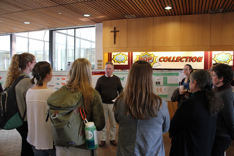
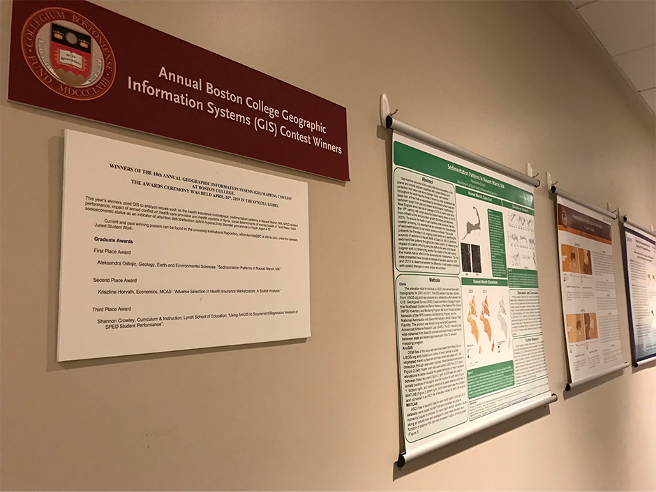
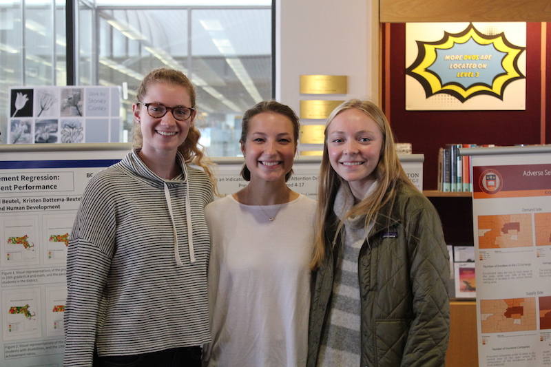
Today, with close to 100 entries over the years, the submissions span subject areas including Biology, Earth & Environmental Sciences, Social Work, Economics, Environmental Studies, Psychology, Biology, Political Science, International Studies and Education. Winning posters are displayed in the O’Neill lobby during the awards ceremony each April, and then go on display for a year on Level 2, near the Digital Studio. They are also included in the Data Visualization Display in O’Neill with acknowledgement on the Digital Scholarship Group’s blog.

We invite you to take a look at the winning entries deposited in the libraries’ digital repository, eScholarship@BC under Juried Student Work.
