Celebrating 2017 GIS Contest Winners
Boston College Libraries proudly awarded prizes for the 8th Annual Geographic Information Systems (GIS) Poster Contest, April 26th, 2017 in the lobby of the O’Neill Library.
This event highlights the ongoing library initiative to engage students in the use of GIS as an essential tool for research and data visualization. The contest is an opportunity to meet and encourage the talented, enthusiastic students as we recognize their research in topics such as environmental changes, food security and health issues.
The first place awards of a $100 Amazon Gift Card went to:
Samantha Dow, Geology/MCAS, graduate prize: “Mapping channel changes in glacial and legacy sediment reaches of the South River”.
Mary Stack, Geology/MCAS, undergraduate prize: “Farmer’s Markets in Massachusetts”.
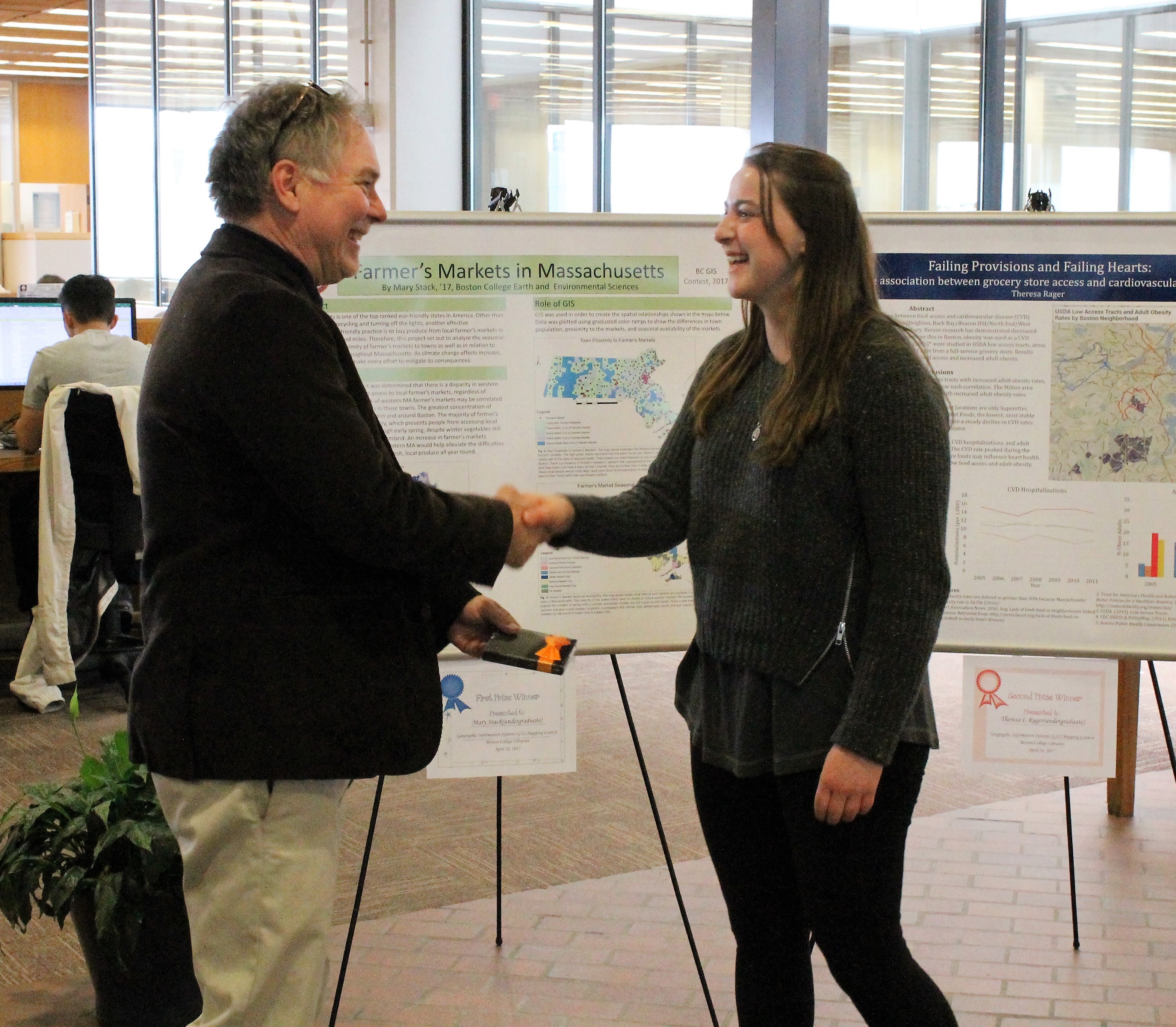
(Photo: Kevin Tringale, Exhibits Specialist)
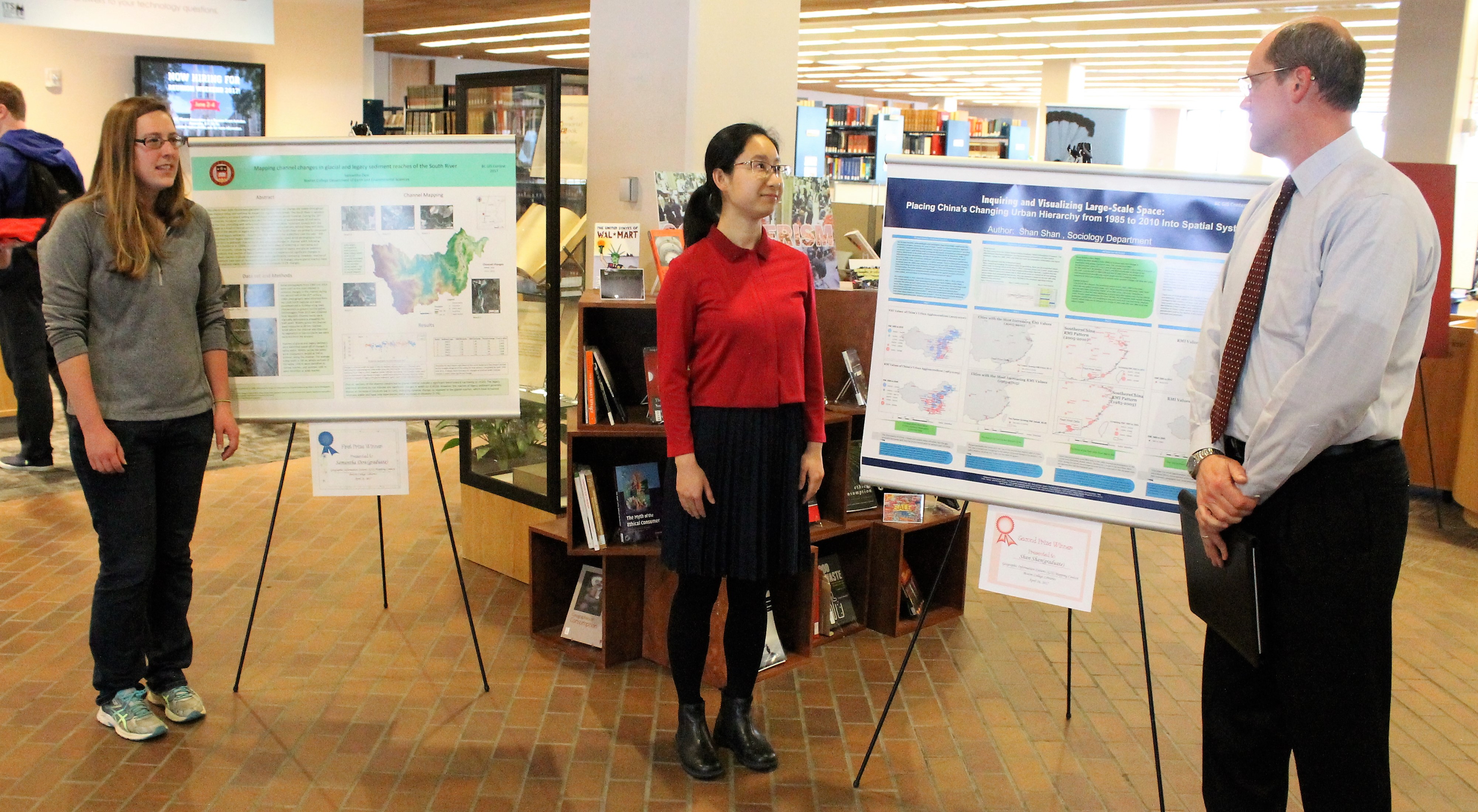
(Photo: Kevin Tringale, Exhibits Specialist)
The second place awards of a $50 Amazon Gift Card, went to:
Shan Shan, Sociology/MCAS, graduate prize: “Inquiring and Visualizing Large-Scale Space: Placing China’s Changing Urban Hierarchy from 1985 to 2010 Into Spatial System”.
Theresa L Rager, Biology/MCAS, undergraduate prize: ”Failing Provisions and Failing Hearts: The association between grocery store access and cardiovascular disease”.
The third place awards of a $25 Amazon Gift Card went to:
Rachel Piccolino, Psychology/MCAS, co-winner undergraduate prize: “Impact of Sexual Education on HPV Vaccination Rates”.
Lesley Lopez, Sociology/MCAS, co-winner undergraduate prize: “Smoking and Stroke Prevalence across the United States”.
Awards were based on map quality, use of GIS as a research tool and originality. Special consideration was given to topics depicting social implications of the research such as environmental issues.
Past winning posters can be found in the university Institutional Repository: eScholarship@BC, under the category Juried Student Work. The entries of our newest winners will join this distinguished group.
We ask faculty to encourage their students to enter next year’s contest. Look for details on GIS Day, which will be November 15th, 2017.
Our thanks go to contest judges: Rudolph Hon, Associate Professor, Department of Earth & Environmental Sciences, Constantin Andronache, Research Associate, Research Services, ITS, Enid Karr, Science Librarian and Barbara Mento, Data/GIS Librarian.